Road closures between city centre and MCFC stadium on Monday 23 May
19 May 2011
Details of roads and bus services affected by the Manchester City FA Cup Victory Parade

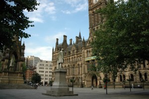
Manchester City Council has invited Manchester City FC to take part in an FA Cup victory open-top bus parade from the city centre (Albert Square) to Manchester City's ground at Eastlands on the evening of Monday 23 May. It is expected that up to 200,000 people may attend along the length of the route.
The parade will follow the route below - see map (PDF, 227 KB):
- Albert Square (6pm)
- Princess Street
- Portland Street
- Newton Street
- Great Ancoats Street
- Every Street
- Ashton New Road
- Rowsley Street into the Stadium (8.30pm approximately)
There will be some temporary road closures as the team make their way from Albert Square to the City of Manchester stadium. Details of road closures and access arrangements are listed in the following document:
The following bus services will be affected:
- 12 : 15 : 16 : 32 : 33 : X34 : 36 : 37 : 41 : X 41 : 42 : 42A : 43 : X 43 : 44 : X 44 : 48
- 50 : X50 : 53 : X57 : X58 : 63 : 84 : 85 : 86 : 99
- 101 : 104 : 105 : 109 : 111 : 130 : 142 : 143 : 157 : 167 : 192 : 197
- 201 : 203 : 204 : 205 : 206 : 216 : 217 : 218 : 219 : 221 : 231 : 236 : 237 : 250 : 255 : 256 : 263
- Metroshuttles 1 : 2 : 3
- Bluebird 84 : 131
For all services affected, the last normal departures from Piccadilly will be up to 3.59pm. Any service due to depart after that time must operate as diversion route and departure points listed in the following document (exceptions to this are listed by service):
- Bus service diversions (PDF, 36.88 KB)
